
— Blogs —
—Products—
 Consumer hotline +8618073152920
 WhatsApp:+8615367865107
Address:Room 102, District D, Houhu Industrial Park, Yuelu District, Changsha City, Hunan Province, China
Product knowledge
Time:2024-11-14 11:44:04 Popularity:573
Hydrometeorological tools are instruments and systems used to observe, analyze and predict the hydrological cycle and meteorological conditions. The following are five common hydrometeorological tools, including how they work, what they are used for, and the scenarios in which they are used at hydrometeorological stations:
- Standard Rain Gauge: Measurement of rainfall by collecting rainfall over a certain period of time and measuring it.
- Tipping Bucket Rain Gauge: The bucket is turned over after a certain amount of rainfall, and a certain amount of rainfall is recorded each time it is turned over and accumulated by an electronic counter.
- The tipping bucket rain gauge collects rainwater through a water-bearing mouth, and the rainwater flows through the funnel into the measuring tipping bucket. When the amount of water in the measuring hopper reaches a preset value (e.g. 0.2mm or 0.5mm), the hopper is turned over, triggering a reed switch to generate an electronic signal. This process is repeated, recording the amount of rainfall represented by each flip.
- To monitor rainfall and provide data for flood warning, water resource management, and weather forecasting.
Rain gauge application scenarios:
- Hydrometeorological stations, agricultural irrigation systems, urban drainage systems, meteorological observation networks.
- Especially suitable for long-term hydrological data collection, especially in the need for continuous, automatic recording of precipitation information occasions, such as urban flood control, water resource management, agricultural irrigation planning and so on.
- Buoy-type water level gauge: through the buoy with the water level rise or fall to measure the height of the water level.
- Pressure water level meter: by measuring the liquid pressure to determine the height of the water level.
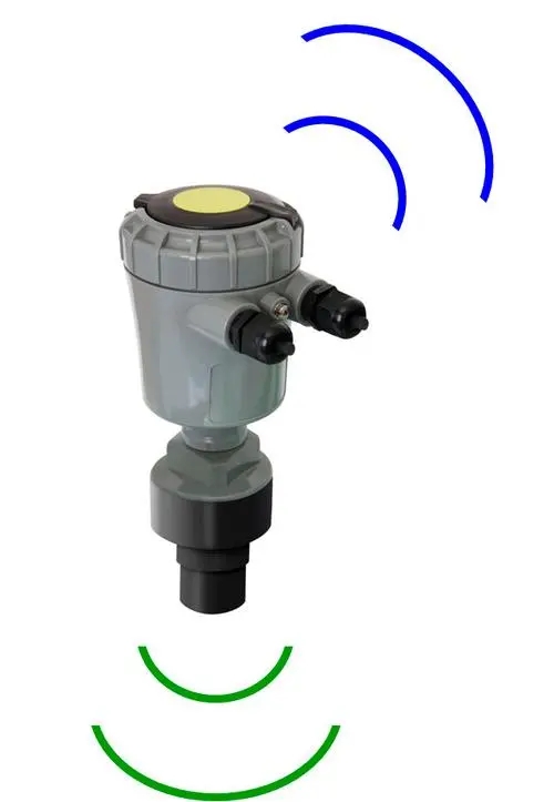
- Acoustic water level meter: the use of acoustic wave reflection principle to measure the distance from the water surface to the sensor.

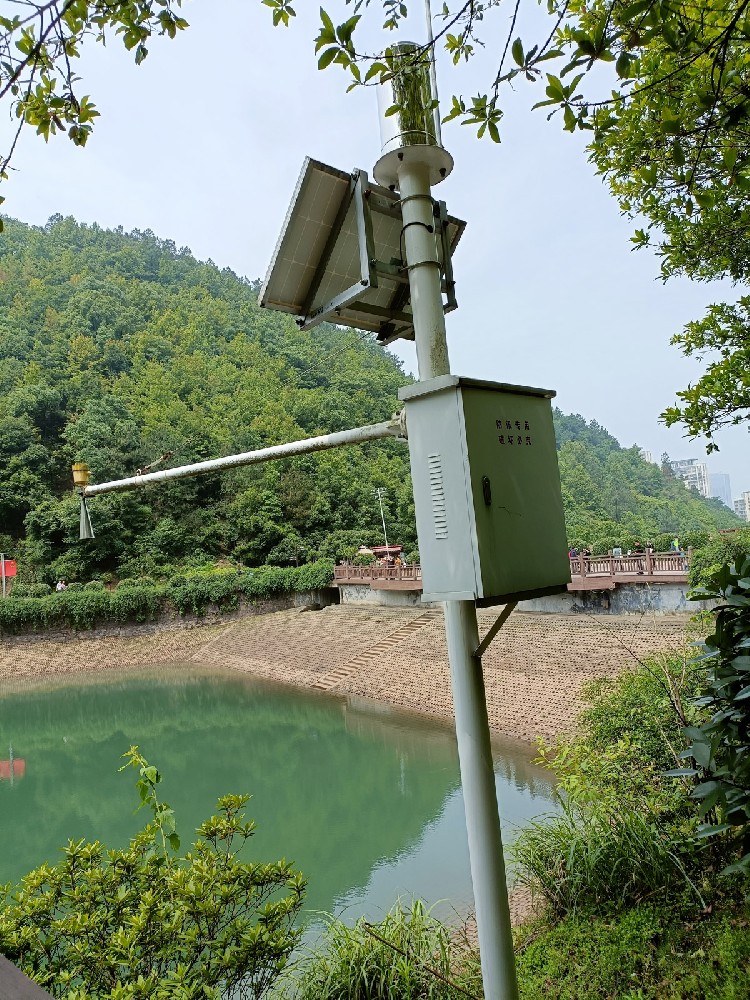
- Monitoring water level changes in rivers, lakes, reservoirs and other water bodies for flood warning, water resource management.
Water level meter application scene:
- Monitoring stations of rivers, reservoirs, lakes, tidal monitoring in coastal areas.

- Mechanical tachometer: the rotor of the tachometer is rotated by the power of the water flow, and the rotational speed is proportional to the flow rate.
- Electromagnetic Flow Meter: Measurement of flow velocity by using the relationship between the voltage generated when water passes through a magnetic field and the flow velocity.
- Acoustic Doppler Current Profiler (ADCP): emits sound waves and calculates the flow velocity by measuring the Doppler shift of the sound waves in a moving body of water.
- Measure the velocity and direction of water flow, used for river management, water pollution monitoring, water conservancy project design.
Flow velocity meter application scenario:
- River, channel, ocean flow rate monitoring, hydrological surveys and water quality monitoring.
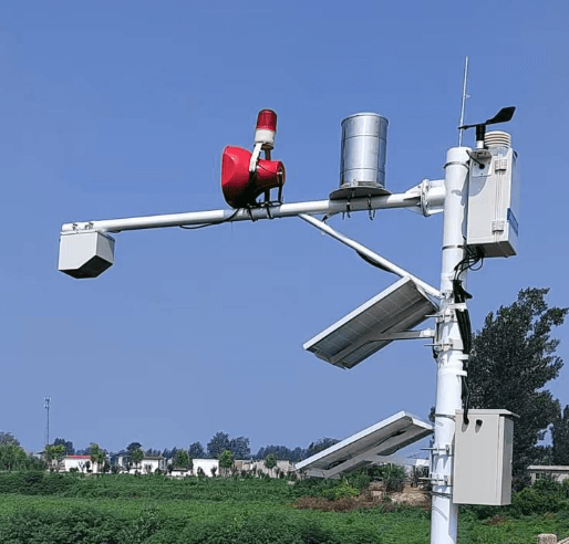
- Automatic Weather Station: collect meteorological data, such as temperature, humidity, wind speed, wind direction, air pressure, precipitation, etc., through sensors and process them through data loggers.
- Portable Weather Station: similar to an automatic weather station, but easier to move and deploy.
- Collecting weather data for weather forecasting, climate change research, agricultural management.
Weather Station Application Scenarios:
- Meteorological observation networks, agricultural areas, airports, research institutes, environmental monitoring.

- Weather radar: emits microwave pulses to monitor weather systems by receiving echoes reflected from precipitation particles.
- Doppler radar: uses the Doppler effect to measure the speed and direction of a target's motion.
- Synthetic Aperture Radar (SAR): obtains high-resolution images of the Earth's surface through synthetic aperture techniques.
- Monitoring precipitation, storms, wind direction and other information for weather forecasting, disaster warning, climate research.
- Meteorological departments, disaster warning systems, aerospace monitoring, environmental remote sensing.
- Used to provide real-time weather conditions and future trend forecasts at national weather centers, airport weather stations, etc.

Together, these tools in hydrometeorological station application scenarios form an integrated monitoring network that provides critical data support for scientific research, disaster prevention, water resource management, etc. Through the integrated use of these tools, real-time monitoring and analysis of hydrometeorological conditions can be realized, providing a scientific basis for decision-making.
Related recommendations
Sensors & Weather Stations Catalog
Agriculture Sensors and Weather Stations Catalog-NiuBoL.pdf
Weather Stations Catalog-NiuBoL.pdf
Related products
 Combined air temperature and relative humidity sensor
 Soil Moisture Temperature sensor for irrigation
 Soil pH sensor RS485 soil Testing instrument soil ph meter for agriculture
 Wind Speed sensor Output Modbus/RS485/Analog/0-5V/4-20mA
 Tipping bucket rain gauge for weather monitoring auto rainfall sensor RS485/Outdoor/stainless steel
 Pyranometer Solar Radiation Sensor 4-20mA/RS485
Screenshot, WhatsApp to identify the QR code
WhatsApp number:+8615367865107
(Click on WhatsApp to copy and add friends)